Learn essential map and compass navigation skills with AKM Survival in Pollok Country Park, Glasgow. This 3+ hour daytime course is perfect for beginners or anyone wanting to refresh their navigation knowledge, gain confidence moving safely in Scotland’s terrain, and learn the techniques I’ve relied on in Arctic whiteouts and dense jungle.
Course Details
Price: £60 per person
Start Time: 10am
Duration: 3+ hours
Location: Pollok Country Park, Glasgow
Suitable for: Anyone new to navigation or wanting to brush up on their skills
Pre-trip Planning
How to use mountain weather forecasts to plan safe, efficient routes
Maps and Tools
Understanding different map types and scales
Choosing and using the right compass and knowing its key features
Core Navigation Skills
Navigating confidently using just the map
Setting your map and matching it to the terrain
Anticipating and confirming features as you move
Giving accurate grid references under pressure
Estimating distance using pacing and timing
Reading and interpreting contours to understand the terrain
Advanced Techniques
Taking and following a bearing in poor visibility
Using proven survival signal techniques to stay safe and be found
Why Take This Course By the end of the session, you’ll have the navigation tools to stay safe on day walks, short expeditions, or unexpected wilderness situations.
Suitable for ages 16+
Other dates can be arranged - minimum 2 participants. Contact me for details.
Choose Date:
Learn essential map and compass navigation skills with AKM Survival in Pollok Country Park, Glasgow. This 3+ hour daytime course is perfect for beginners or anyone wanting to refresh their navigation knowledge, gain confidence moving safely in Scotland’s terrain, and learn the techniques I’ve relied on in Arctic whiteouts and dense jungle.
Course Details
Price: £60 per person
Start Time: 10am
Duration: 3+ hours
Location: Pollok Country Park, Glasgow
Suitable for: Anyone new to navigation or wanting to brush up on their skills
Pre-trip Planning
How to use mountain weather forecasts to plan safe, efficient routes
Maps and Tools
Understanding different map types and scales
Choosing and using the right compass and knowing its key features
Core Navigation Skills
Navigating confidently using just the map
Setting your map and matching it to the terrain
Anticipating and confirming features as you move
Giving accurate grid references under pressure
Estimating distance using pacing and timing
Reading and interpreting contours to understand the terrain
Advanced Techniques
Taking and following a bearing in poor visibility
Using proven survival signal techniques to stay safe and be found
Why Take This Course By the end of the session, you’ll have the navigation tools to stay safe on day walks, short expeditions, or unexpected wilderness situations.
Suitable for ages 16+
Other dates can be arranged - minimum 2 participants. Contact me for details.
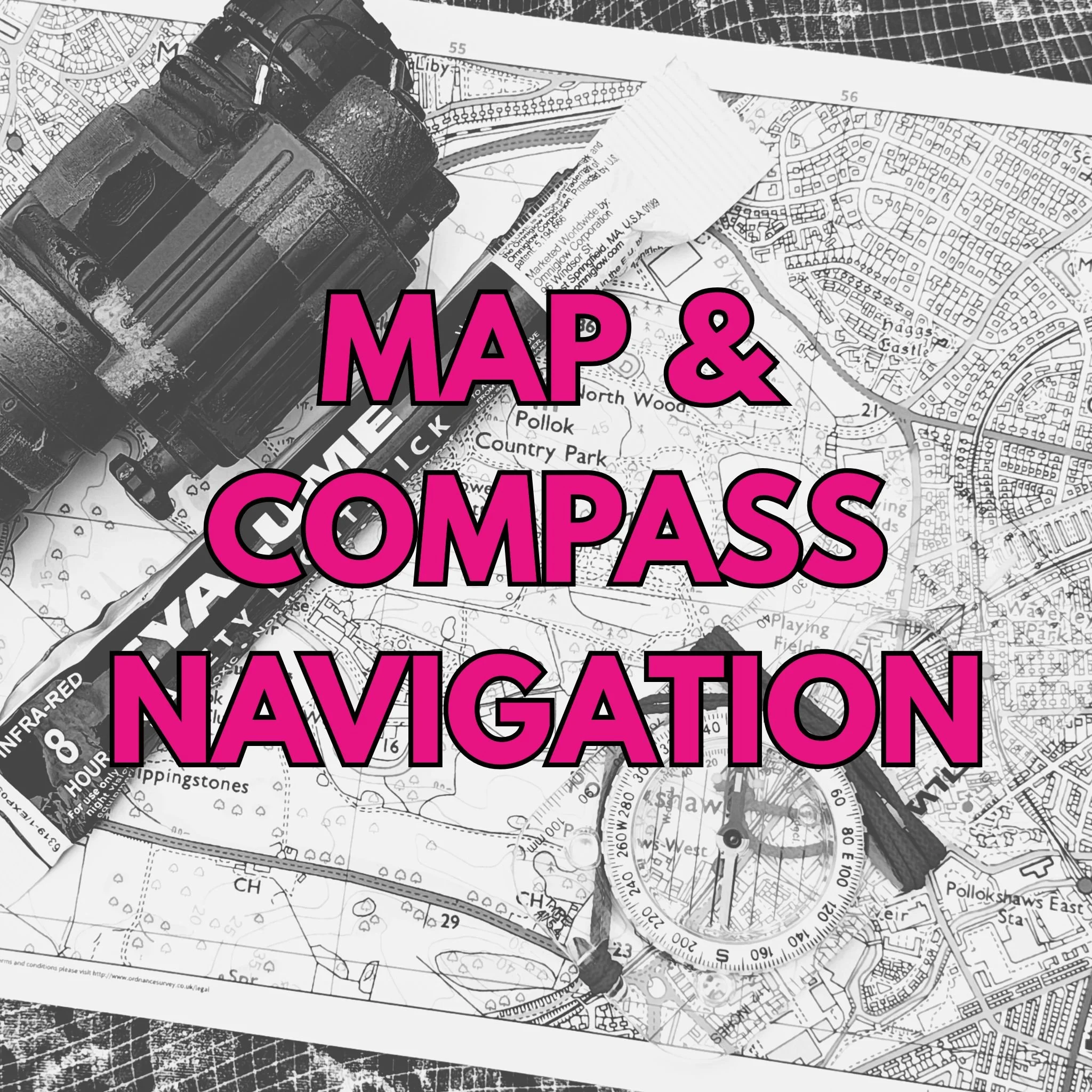 Image 1 of 6
 Image 2 of 6
 Image 3 of 6
 Image 4 of 6
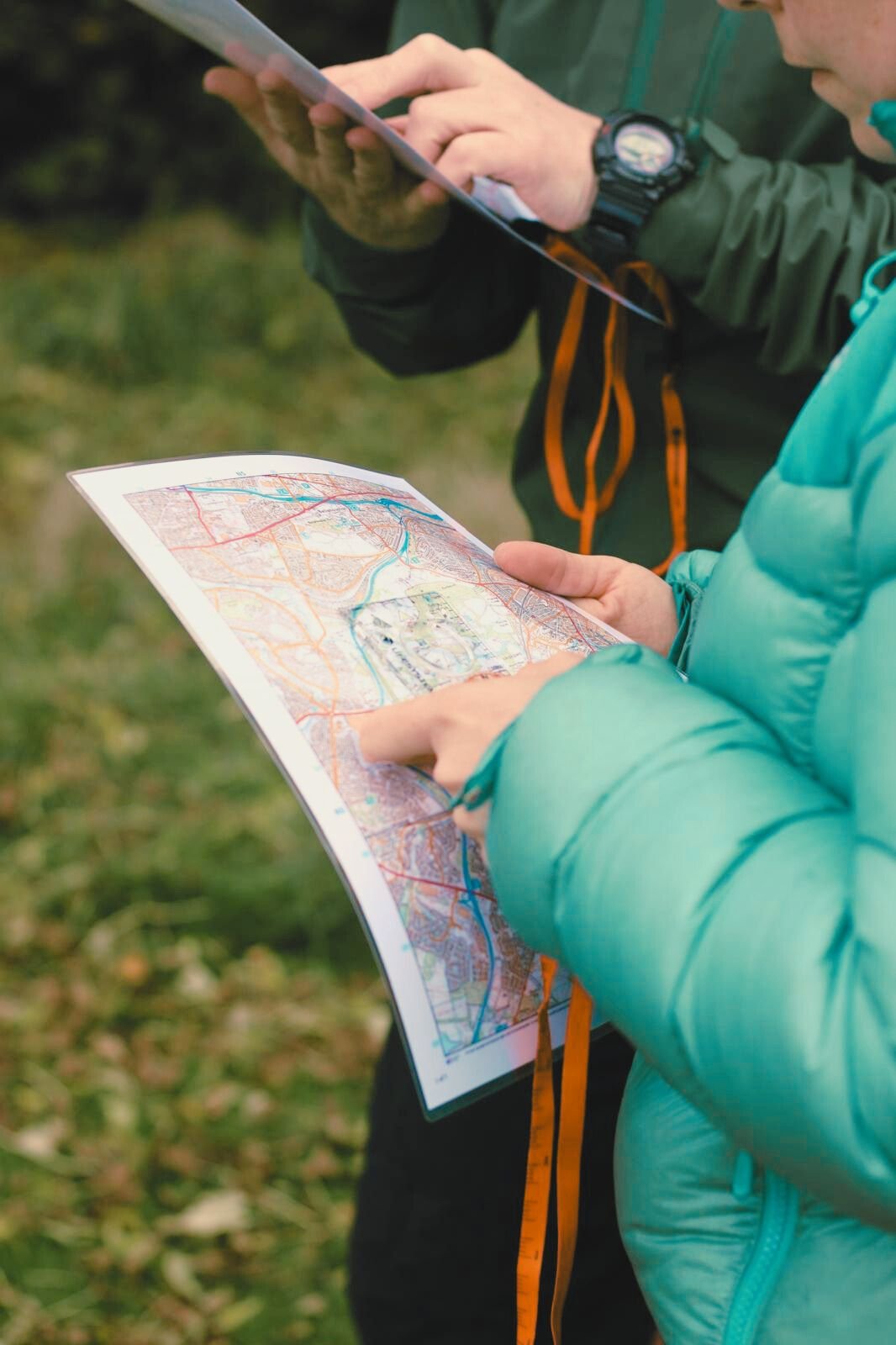 Image 5 of 6
 Image 6 of 6