 Image 1 of 2
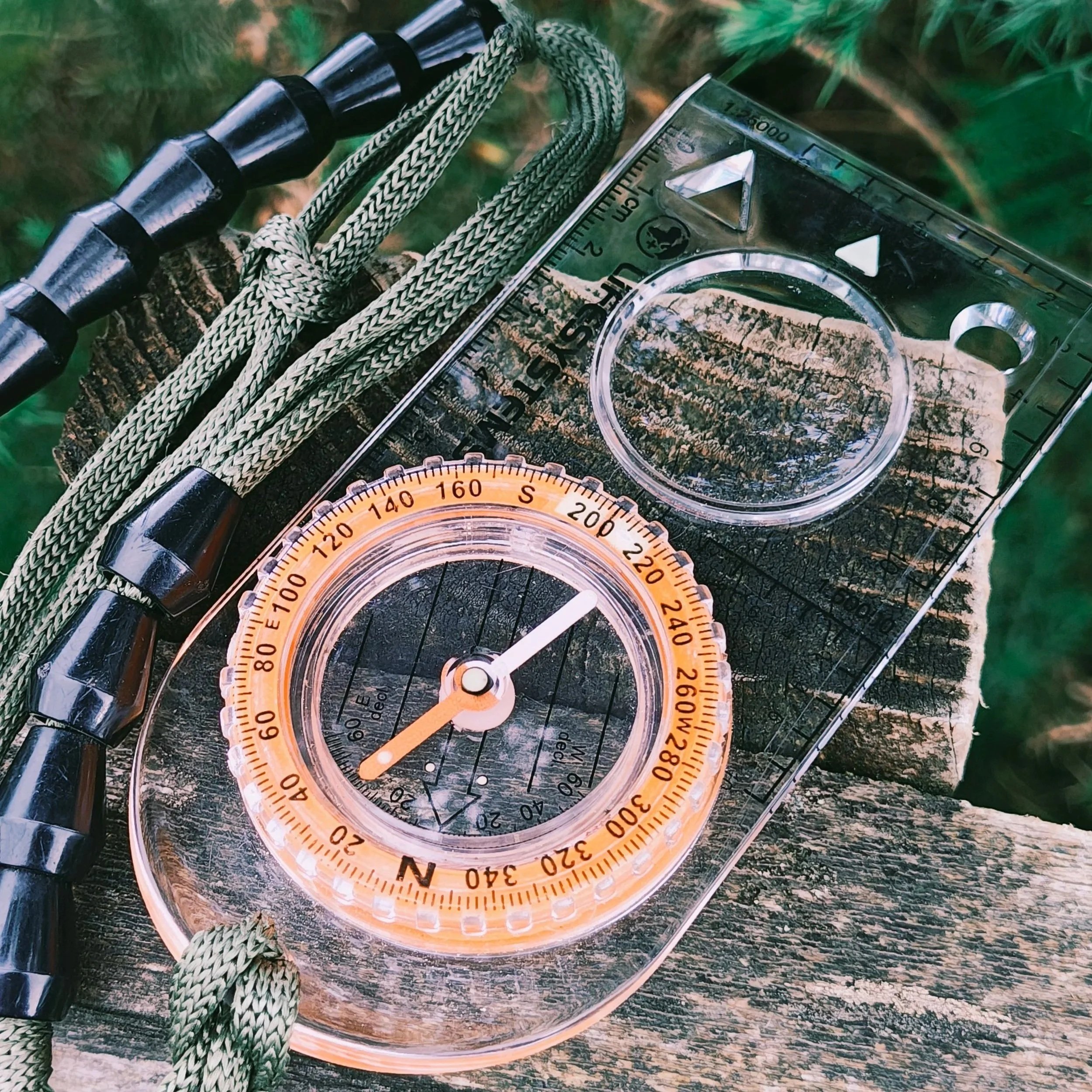 Image 2 of 2
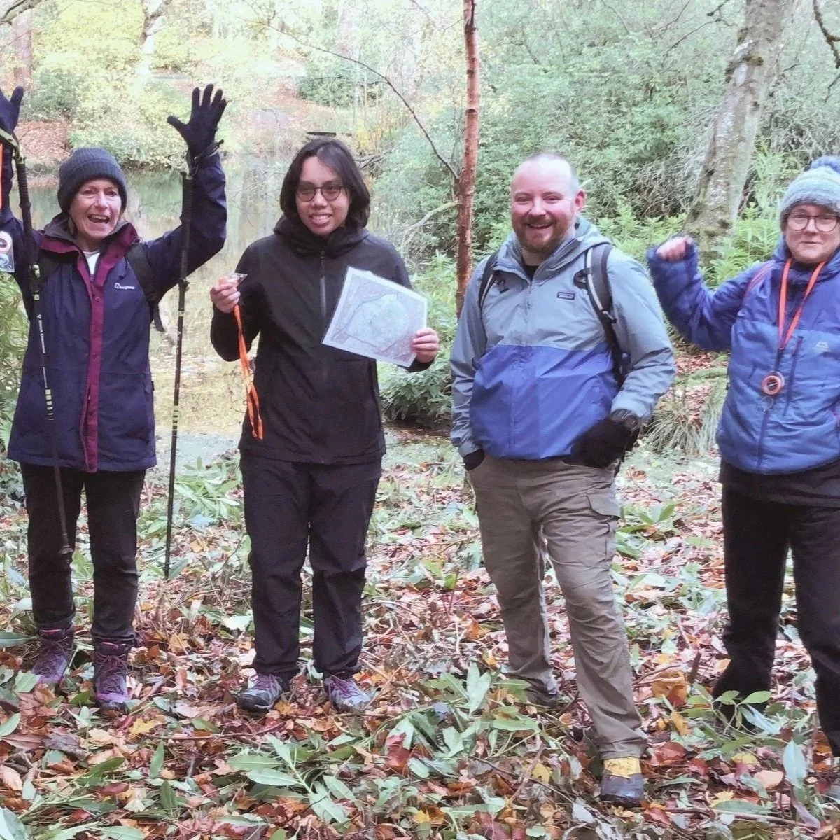
Whether you want to follow walks from a guidebook or website, feel more prepared when your phone battery runs low, or simply learn a useful new skill, this welcoming session is designed to help you get started.
Pollok Country Park provides a safe, accessible setting close to Glasgow and easy to reach by public transport. Its varied paths, terrain and surprisingly detailed features create the perfect place to practise core map-reading skills without the pressure of remote terrain or perfect weather.
No previous map-reading experience is needed. Come ready to learn, practise and build confidence outdoors.
Location: Pollok Country Park, Southside, Glasgow
Duration: 3 hours, starting at 10am
Age: 16+ (under 18s must be accompanied by a parent or guardian)
Course size: Limited to 10 participants
Orientating a map
Recognising key map symbols
Identifying and ticking off features along your route
Using grid references
Taking quick bearings
Understanding when and how to signal for rescue*
*Based on direct feedback from helicopter search and rescue personnel.
Season-appropriate clothing, waterproofs, sturdy footwear, a warm drink and a snack. Maps and compasses are provided for use during the course.
Whether you want to follow walks from a guidebook or website, feel more prepared when your phone battery runs low, or simply learn a useful new skill, this welcoming session is designed to help you get started.
Pollok Country Park provides a safe, accessible setting close to Glasgow and easy to reach by public transport. Its varied paths, terrain and surprisingly detailed features create the perfect place to practise core map-reading skills without the pressure of remote terrain or perfect weather.
No previous map-reading experience is needed. Come ready to learn, practise and build confidence outdoors.
Location: Pollok Country Park, Southside, Glasgow
Duration: 3 hours, starting at 10am
Age: 16+ (under 18s must be accompanied by a parent or guardian)
Course size: Limited to 10 participants
Orientating a map
Recognising key map symbols
Identifying and ticking off features along your route
Using grid references
Taking quick bearings
Understanding when and how to signal for rescue*
*Based on direct feedback from helicopter search and rescue personnel.
Season-appropriate clothing, waterproofs, sturdy footwear, a warm drink and a snack. Maps and compasses are provided for use during the course.